01
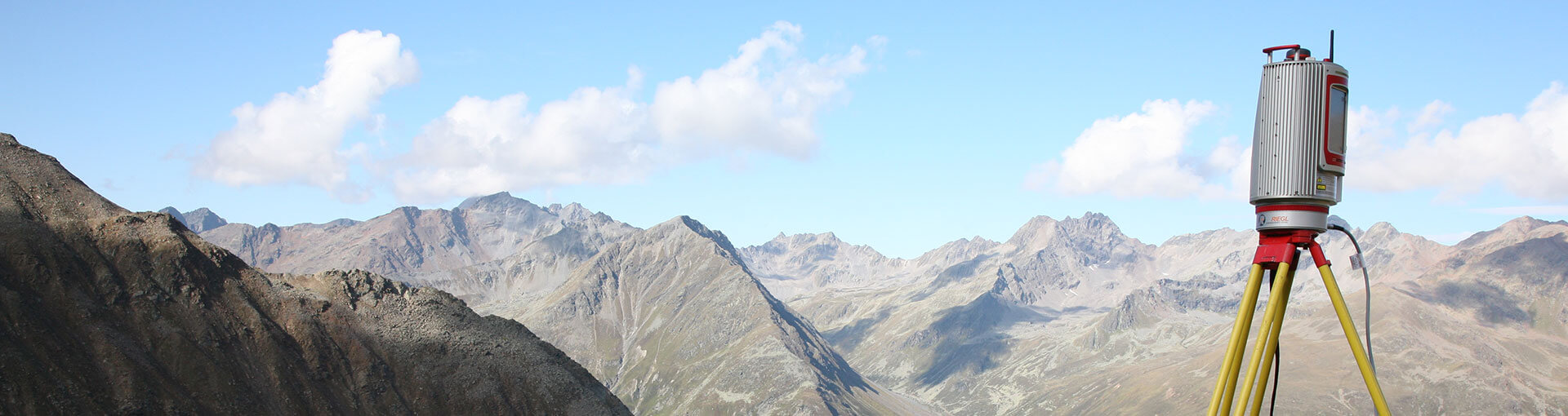
Terrestrial 3D laser scanners
3D capture of objects, terrain and demanding sites.

Sales programme
High-performance LiDAR systems for terrestrial, airborne and mobile scanning, laser measurement and professional 3D data processing.
Precise spatial capture
RIEGL develops professional laser measurement systems for capturing demanding spatial data. The programme combines hardware, sensors and software tools for efficient workflows from measurement to analysis.
Scanning buildings, industrial sites, transport infrastructure, archaeological sites and other demanding environments.
LiDAR capture from aircraft, helicopters and UAV systems for topography, infrastructure, mining and large areas.
Software for registration, visualisation, analysis, archiving and further use of captured 3D data.
RIEGL solutions
Explore the solutions by acquisition and data-processing method and choose the right system for your project.
01
3D capture of objects, terrain and demanding sites.
02
LiDAR capture of terrain and infrastructure from airborne platforms.
03
Georeferenced data capture while moving.
04
Precise non-contact distance measurements for technical applications.
05
Processing, visualisation and management of captured 3D data.
01 / Terrestrial 3D laser scanners
RIEGL VZ terrestrial systems are intended for architecture, construction, surveying, archaeology, industrial monitoring, and documenting traffic accidents and forensic investigations.

Terrestrial scanners for architecture, construction, surveying, archaeology, industrial monitoring and documenting traffic accidents.
02 / Airborne and UAV scanning
The RIEGL VQ and VUX series and the RiCOPTER system enable high-performance aerial scanning of terrain and infrastructure from different platforms.

Laser scanning systems for aircraft, helicopters and UAV platforms.
03 / Mobile scanning
Mobile RIEGL VUX systems combined with GPS and IMU enable georeferenced 2D and 3D data capture while moving.

Mobile systems for rapid capture of transport corridors, combined with GPS and IMU.
04 / Laser distance meters
RIEGL LD series laser distance meters are designed for measurements where reliability and accurate distance capture are essential.

LD series laser distance meters for precise measurement applications.
05 / Software
RiSCAN PRO and RiPANO support scan registration and processing, sensor configuration, visualisation, archiving and further work with the data in a CAD environment.
Software for processing, visualising, manipulating and archiving 3D scanning data.
Demonstration
By arrangement, we can demonstrate the system on a selected object and show the basic processing of the captured data.
Enquiry
Describe the object, terrain or survey task and we will recommend a suitable configuration and acquisition method.
It helps to include the area size, required accuracy, acquisition method, expected data density and intended use of the results.
Contact person
Tomaž Trebše
Telephone: +386 (0)1 47 41 116
Mobile phone: +386 (0)41 334 724
E-mail: tomaz.trebse@commerce-lj.si